Investigate the problem icon
Step 1: Investigate the problem

Find out who is most at risk in your city

In every city, some individuals and neighborhoods face greater health risks from air pollution than others due to differences in exposure and susceptibility. This section provides resources to help identify which neighborhoods in your city are most exposed to high levels of air pollution and who in your city is most at risk of negative health consequences driven by poor air quality. This information can help your city or town design targeted actions that reduce disparities, support sensitive populations and get the most health and economic benefits out of clean air policies.
View resources

Community exposures and health risks

  • Filters

    Reset filters
  • Geographic Coverage

  • Sector

  • Pollutants

  • Resource Type

  • Format

  • Cost

  • Owner

  • Data Type

Database Map Report

Louisiana Tumor Registry

The Louisiana Tumor Registry website presents information about Louisiana’s statewide, population-based cancer registry, which collects detailed data on cancer cases to support prevention, early detection, treatment,...
Analysis Map

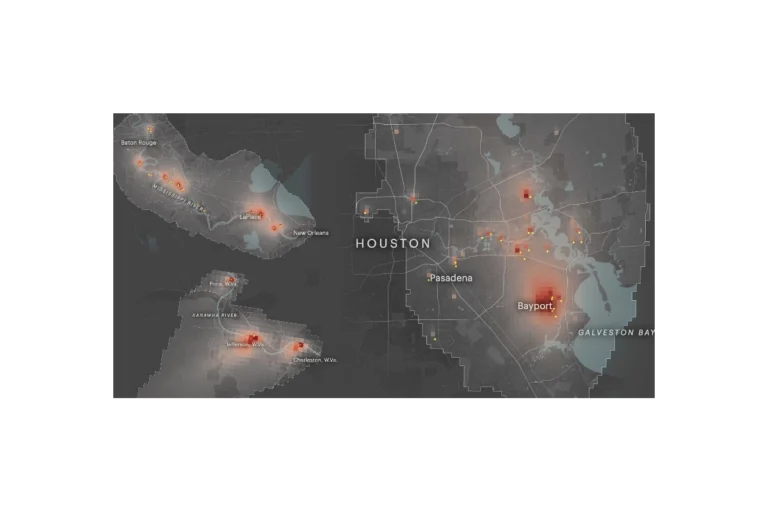
Toxmap

ProPublica’s Toxmap is an interactive map that visualizes estimated cancer risk from industrial air pollution across the United States. Built from EPA emissions and modeling data,...
Map Tool

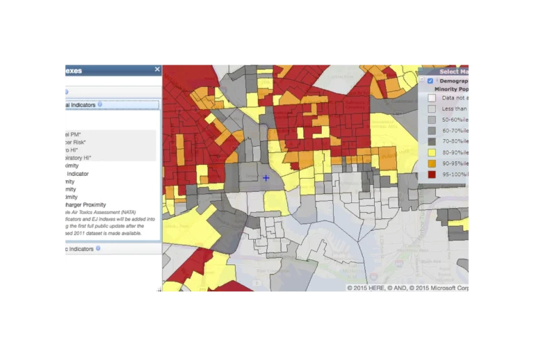
EJScreen

EJScreen (formerly an EPA tool, now discontinued and publicly hosted) is a national mapping and screening tool that combines environmental, health, and demographic data to help...
Database Map

PLACES: Local Data for Better Health

The CDC PLACES (Local Data for Better Health) tool is a free, interactive web resource that provides model-based estimates of chronic disease, health behaviors, preventive practices,...

Sign up to get the latest updates on new city clean air tools and resources.