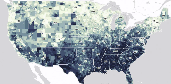
The U.S. Climate Vulnerability Index map is an interactive tool that ranks more than 70,000 U.S. census tracts using 184 indicators to show which communities face the greatest challenges from climate change. It visualizes “overall climate vulnerability” as well as underlying drivers in domains such as health, social and economic conditions, environment, infrastructure, and climate impacts (e.g., extreme events and climate disaster costs). Users can search for any location, compare tracts within a state or EPA region, and drill down to see which specific factors—like housing quality, exposure to pollution, or health burdens—are contributing to vulnerability, helping communities and decision‑makers target climate resilience investments where they are needed most.
The ARL site is a scientific research and modeling portal. Its mission is to improve the Nation’s ability to protect human and ecosystem health by studying the physical and chemical processes occurring from the soil up to about 2–3 miles in the atmosphere. It is the birthplace of the HYSPLIT model, the global standard for tracking the movement of air parcels.
The Control Strategy Tool (CoST), developed in 2008, is part of EPA's Emissions Modeling Framework (EMF). CoST is used to estimate emissions reductions and engineering costs associated with control strategies applied to point and area sources of air pollutant emissions to support the analyses of air pollution policies and regulations.
EPA's MOtor Vehicle Emission Simulator (MOVES) is a state-of-the-science emission modeling system that estimates emissions for mobile sources at the national, county, and project level for criteria air pollutants, greenhouse gases, and air toxics, available under EPA's Open Source Software policy.
SMOKE is primarily an emissions processing system designed to create gridded, speciated, hourly emissions for input into a variety of air quality models such as CMAQ, REMSAD, CAMX and UAM. SMOKE supports area, biogenic, mobile (both onroad and nonroad), and point source emissions processing for criteria, particulate, and toxic pollutants. For biogenic emissions modeling, SMOKE uses the Biogenic Emission Inventory System. SMOKE is also integrated with the on-road emissions model MOVES.
The AQUA tool is an easy-to-use excel spreadsheet model that city staff can use with minimal guidance. It uses population, exposure, health and economic cost data, as well as epidemiologic evidence to help users calculate how emission changes can benefit local air quality and health.
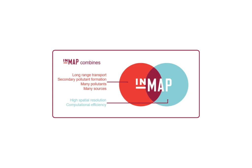
InMAP is a recently developed model which offers a new approach to estimating the human health impacts caused by air pollutant emissions and how those impacts are distributed among different groups of people.
The EDF Turbine Map is an advocacy-focused geospatial tool developed by the Environmental Defense Fund (EDF) in partnership with Moms Clean Air Force and EcoMadres. It is designed to expose the environmental and health impacts of gas-fired combustion turbines across the United States.
TANKS, Version 5 is a browser-based application that estimates volatile organic compound (VOC) and hazardous air pollutant (HAP) emissions from fixed- and floating-roof storage tanks.