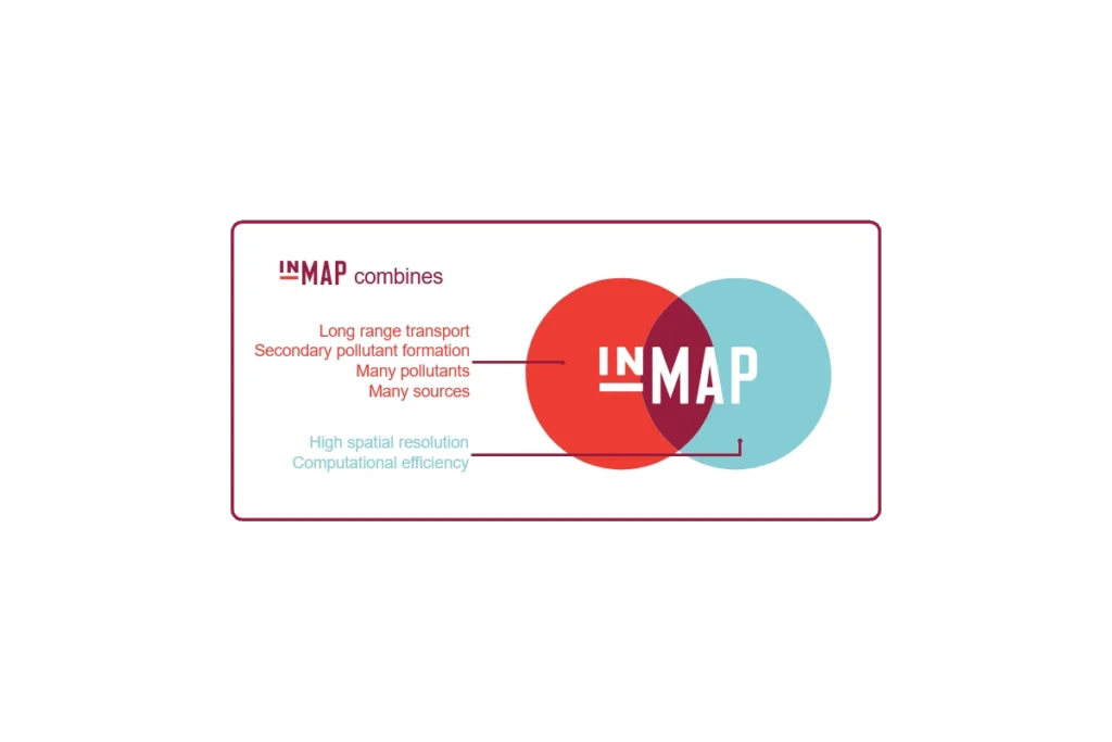
InMAP is a recently developed model which offers a new approach to estimating the human health impacts caused by air pollutant emissions and how those impacts are distributed among different groups of people.
"BetterHubs aims to use a set of core objectives to help governments, companies, investors, and local communities design and engage with Hub projects in a way that sets a new bar for industrial innovation."
Air sensor monitors that are lower in cost, portable and generally easier to operate than regulatory-grade monitors are widely used in the United States to understand air quality conditions. This website provides the latest science on the performance, operation and use of air sensor monitoring systems for technology developers, air quality managers, participatory scientists and the public. The EPA is involved in the advancement of air sensor technology, including performance evaluations of sensor devices and best practices for effectively using sensors. The information can help the public learn more about air quality in their communities.
This is a collection of air pollution control technology fact sheets, technical bulletins, and a limited number of software tools. The reports and fact sheets were mostly developed in the 1990's and early 2000's. They cover a wide range of sources and pollutants.
"The National Environmental Public Health Tracking Network (Tracking Network) brings together health data and environmental data from national, state, and city sources and provides supporting information to make the data easier to understand. The Tracking Network has data and information on environments and hazards, health effects, and population health."
CASTNET is a national monitoring network established to assess trends in pollutant concentrations, atmospheric deposition, and ecological effects due to changes in air pollutant emissions.
This guide is designed with government agencies in mind, to help those who must manage the process where public participation is important for decision-making, while incorporating fair treatment, meaningful involvement and social inclusion of all people regardless of race, color, national origin, sexual orientation or income.
From the website: "Share real-time, accurate air quality data with your community through OpenMap to build trust, foster transparency, and drive meaningful environmental action. Empower your stakeholders with intuitive, localized insights to protect their health and keep them informed about their environment. By bridging the gap between your organization and the community, OpenMap transforms data into real-time air quality information and actionable knowledge.
OpenMap visualizes PM2.5 and NO2 Air Quality Index (AQI) data from Clarity's rigorously calibrated Node-S air quality sensors alongside government reference monitors."
Subscribe
Sign up to get the latest updates on new city clean air tools and resources.