Website providing access to tools and resources related to programs that reduce emissions from trucks and buses in California. Includes information about regulations, zero-emission trucks, and infrastructure.
This website provides information about California’s regulations to reduce light duty vehicle emissions. It includes links to regulatory programs for Low Emission and Zero Emission Vehicles, electric vehicle and hydrogen infrastructure, and information on advanced clean cars.
Primary website for access to California’s programs to reduce emissions from cars, trucks, and motorcycles. Provides links to major programs, fact sheets and research.
The Fuel Alternatives and Options guide, provided by the Indiana Department of Environmental Management (IDEM) through its DieselWise Indiana program, is a strategic resource for mayors looking to modernize municipal fleets and reduce the “diesel signature” in their cities.
Specifically, this webpage serves as a technical guide for city planners and fleet managers. It outlines the primary substitutes for traditional petroleum diesel, including Biodiesel, Compressed Natural Gas (CNG), Liquefied Natural Gas (LNG), Propane (LPG), Electricity, and Hydrogen. For each fuel type, the resource provides a breakdown of its chemical properties, compatibility with existing engines, environmental benefits, and the infrastructure required to support its adoption.
The C40 Communication Toolkit for Air Quality is a product of the best practices shared and lessons learned by these cities and is designed to help cities develop clear messaging, harness the power of visuals, and leverage digital communication channels to inspire collective action to improve air quality.
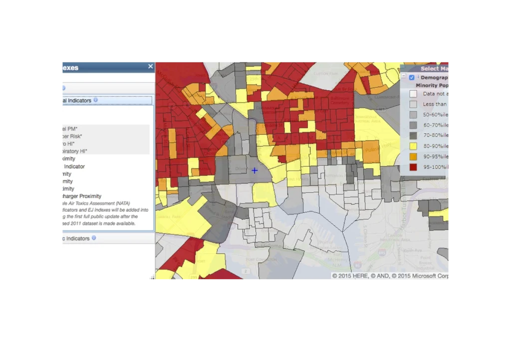
EJScreen (formerly an EPA tool, now discontinued and publicly hosted) is a national mapping and screening tool that combines environmental, health, and demographic data to help identify communities that may be disproportionately impacted by pollution and other environmental hazards. It provides interactive maps and summary reports for “EJ indexes” that blend measures like air pollution, proximity to industrial facilities, traffic, and waste sites with indicators such as income, race/ethnicity, and language isolation. Agencies, communities, and advocates use EJScreen to screen for potential environmental justice concerns, prioritize areas for further study or action, and support planning, permitting, and policy decisions.
The Chicago Department of Public Health’s Cumulative Impact Assessment is a citywide initiative to measure how multiple environmental burdens and social stressors combine to affect health across Chicago neighborhoods. Co-designed with community organizations through an Environmental Equity Working Group, the assessment compiles data on pollution sources, health outcomes, and vulnerability factors to identify communities facing the greatest cumulative impacts. Its findings and recommendations are intended to guide policies on land use, zoning, permitting, enforcement, transportation planning, and other decisions, and it serves as a foundation for Chicago’s broader Environmental Justice Action Plan and proposed cumulative impacts ordinance.
The CDC PLACES (Local Data for Better Health) tool is a free, interactive web resource that provides model-based estimates of chronic disease, health behaviors, preventive practices, disabilities, and related social factors for small geographic areas across the United States. It offers consistent data for all counties, most cities and towns (places), census tracts, and ZIP Code Tabulation Areas, allowing users to view, map, and download neighborhood-level health information to identify local health problems, disparities, and needs and to guide targeted public health planning and policy.
Subscribe
Sign up to get the latest updates on new city clean air tools and resources.