In every city, some individuals and neighborhoods face greater health risks from air pollution than others due to differences in exposure and susceptibility. This section provides resources to help identify which neighborhoods in your city are most exposed to high levels of air pollution and who in your city is most at risk of negative health consequences driven by poor air quality. This information can help your city or town design targeted actions that reduce disparities, support sensitive populations and get the most health and economic benefits out of clean air policies.

Analysis
Map
Model
Tool
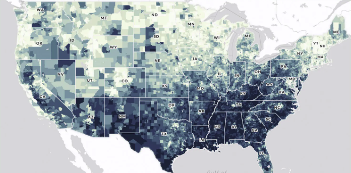
U.S. Climate Vulnerability Index
The U.S. Climate Vulnerability Index map is an interactive tool that ranks more than 70,000 U.S. census tracts using 184 indicators to show which communities face...