The ARL site is a scientific research and modeling portal. Its mission is to improve the Nation’s ability to protect human and ecosystem health by studying the physical and chemical processes occurring from the soil up to about 2–3 miles in the atmosphere. It is the birthplace of the HYSPLIT model, the global standard for tracking the movement of air parcels.
Air quality maps, trends viewer, a downloadable tool and lab data. From the website: "AQview is a community-focused air quality data portal bringing together government and community-led air monitoring data to a single platform. Our primary goal is make it easier to access, understand, and use air quality data collected from the wide range of monitoring efforts occurring across California."
The AQUA tool is an easy-to-use excel spreadsheet model that city staff can use with minimal guidance. It uses population, exposure, health and economic cost data, as well as epidemiologic evidence to help users calculate how emission changes can benefit local air quality and health.
Atmospheric Composition Analysis Group applies satellite observations, global models, and in situ measurements to improve understanding about the processes controlling air quality, climate, and biogeochemical cycling
This page provides resources for measuring transportation greenhouse gas emissions and air quality impacts, and incorporating climate adaptation and resilience features as they relate to a proposed project.
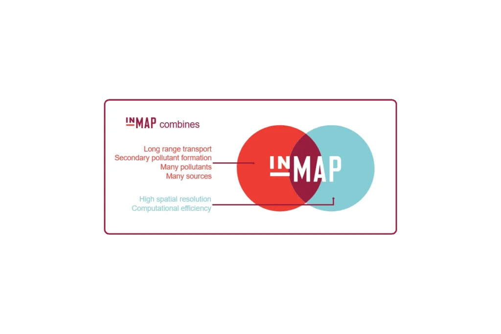
InMAP is a recently developed model which offers a new approach to estimating the human health impacts caused by air pollutant emissions and how those impacts are distributed among different groups of people.
"BetterHubs aims to use a set of core objectives to help governments, companies, investors, and local communities design and engage with Hub projects in a way that sets a new bar for industrial innovation."
Subscribe
Sign up to get the latest updates on new city clean air tools and resources.