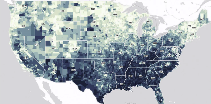
The CDC PLACES (Local Data for Better Health) tool is a free, interactive web resource that provides model-based estimates of chronic disease, health behaviors, preventive practices, disabilities, and related social factors for small geographic areas across the United States. It offers consistent data for all counties, most cities and towns (places), census tracts, and ZIP Code Tabulation Areas, allowing users to view, map, and download neighborhood-level health information to identify local health problems, disparities, and needs and to guide targeted public health planning and policy.
Questions this resource can help answer
“Which neighborhoods in my city have the highest rates of diabetes or obesity?
Where are smoking rates highest in my city?
Which census tracts have the worst self‑reported physical or mental health?
Which communities have high need for preventive care outreach (e.g., low checkup rates)?
How does our city compare to neighboring cities or the state on key health indicators?
Which areas should be prioritized in our Community Health Improvement Plan (CHIP)?
Where might investments in active transportation (sidewalks, bike lanes) most impact physical inactivity?
What local data can we show elected officials to justify a specific policy or investment?”
How do I use this resource?
There are three primary ways to use this tool. First, the interactive PLACES map enables visualization of health measures at a particular geographic resolution (e.g., county, ZIP code, census tract). Second, the data portal allows for downloads of specific health data by year, geographic resolution, and measure. Third, the comparison report allows for a user to compare measures for up to three counties or places.
Pro tips
PLACES provides model based estimates, not exact counts, so use this data as a guide.
Link with other datasets or combine multiple measures to observe trends or highlight priorities
CDC PLACES compiles its information using a statistical approach called small area estimation. It starts with health data from the Behavioral Risk Factor Surveillance System (BRFSS) and demographic and socioeconomic data from the U.S. Census and American Community Survey. CDC fits multilevel regression models for each health measure using BRFSS responses and county-level poverty, then applies these models to Census population data at very small geographic levels and aggregates them to counties, places, census tracts, and ZIP Code Tabulation Areas. The result is model-based estimates of health outcomes and behaviors—with accompanying confidence intervals—for local areas that typically don’t have their own health surveys.